Massachusetts · 76 towns · October 2026
Every Massachusetts town with 500 or more homes in public property records, ranked by the share of those homes built before 1980.
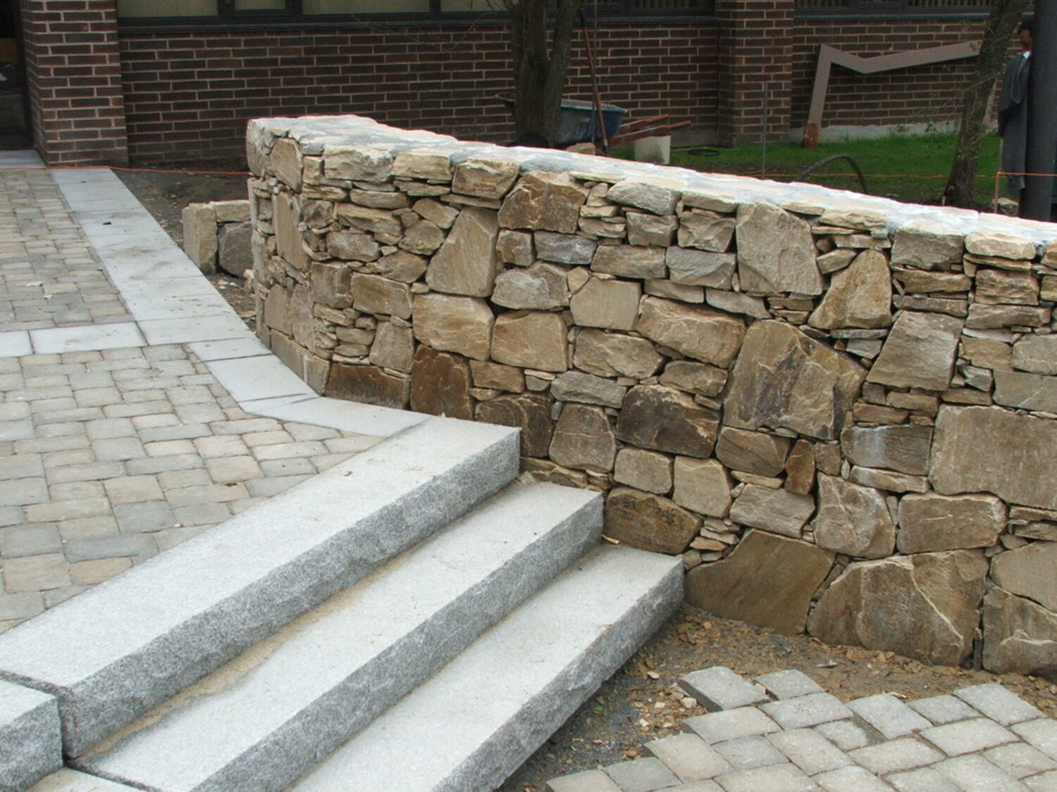
Price your project →Winthrop (96.4%), Belmont (95.8%) and Melrose (95.5%) lead the 76 towns. The walks, steps, walls and drives laid with a house built before 1980 are more than 45 years old.
| 1 | Winthrop | 3,742 | 1910 | 96.4% | 249to Feb 2026 |
| 2 | Belmont | 6,203 | 1930 | 95.8% | — |
| 3 | Melrose | 7,253 | 1924 | 95.5% | 423to Dec 2025 |
| 4 | Quincy | 17,633 | 1925 | 93.6% | — |
| 5 | Arlington | 10,244 | 1931 | 93.5% | 554to Feb 2026 |
| 6 | Brookline | 5,897 | 1925 | 91.2% | 317to Apr 2026 |
| 7 | Lynn | 16,611 | 1910 | 91.0% | — |
| 8 | Braintree | 9,722 | 1950 | 90.7% | — |
| 9 | Milton | 7,869 | 1937 | 90.1% | — |
| 10 | Salem | 7,198 | 1920 | 89.9% | — |
| 11 | Newton | 19,902 | 1930 | 89.4% | 1,250to Oct 2025 |
| 12 | Dedham | 7,277 | 1950 | 88.9% | — |
| 13 | Nahant | 1,245 | 1928 | 88.1% | — |
| 14 | Swampscott | 3,991 | 1929 | 87.8% | — |
| 15 | Revere | 9,203 | 1940 | 86.9% | 517to Dec 2025 |
| 16 | Marblehead | 6,755 | 1945 | 86.4% | — |
| 17 | Hull | 4,070 | 1925 | 85.0% | 235to May 2026 |
| 18 | Weymouth | 14,447 | 1949 | 84.3% | — |
| 19 | Beverly | 9,774 | 1948 | 83.3% | 576to May 2026 |
| 20 | Winchester | 6,033 | 1948 | 82.8% | 394to Dec 2025 |
| 21 | Reading | 6,942 | 1953 | 82.4% | 396to Dec 2025 |
| 22 | Wayland | 4,183 | 1958 | 80.6% | — |
| 23 | Lynnfield | 3,940 | 1959 | 80.4% | 272to Jan 2026 |
| 24 | Saugus | 7,968 | 1953 | 80.0% | 452to Jun 2026 |
| 25 | Rockport | 2,945 | 1944 | 79.0% | — |
| 26 | Hingham | 6,457 | 1956 | 78.2% | 518to Dec 2025 |
| 27 | Hamilton | 2,483 | 1956 | 78.2% | 156to Mar 2026 |
| 28 | Manchester-by-the-Sea | 1,804 | 1955 | 77.9% | 109to Jun 2026 |
| 29 | Topsfield | 1,948 | 1965 | 76.7% | 110to Feb 2026 |
| 30 | Natick | 9,262 | 1950 | 76.6% | — |
| 31 | Scituate | 7,167 | 1956 | 76.3% | 417to Oct 2025 |
| 32 | Westwood | 4,608 | 1958 | 76.1% | — |
| 33 | Sherborn | 1,377 | 1969 | 75.5% | 115to Nov 2025 |
| 34 | Wellesley | 7,467 | 1949 | 75.3% | 615to Dec 2025 |
| 35 | Gloucester | 9,331 | 1930 | 75.0% | 396to Dec 2025 |
| 36 | Wenham | 1,199 | 1958 | 74.1% | — |
| 37 | Newburyport | 4,804 | 1948 | 73.8% | 306to Dec 2025 |
| 38 | Concord | 4,789 | 1963 | 73.4% | 335to May 2026 |
| 39 | Cohasset | 2,590 | 1957 | 72.9% | 202to May 2026 |
| 40 | Canton | 5,847 | 1962 | 72.2% | — |
| 41 | Lexington | 9,279 | 1958 | 72.2% | — |
| 42 | Lincoln | 1,555 | 1960 | 72.1% | — |
| 43 | Dennis | 12,504 | 1969 | 71.8% | — |
| 44 | Needham | 8,636 | 1956 | 70.8% | — |
| 45 | Acton | 5,139 | 1967 | 69.9% | 328to Mar 2026 |
| 46 | Essex | 1,221 | 1954 | 69.5% | — |
| 47 | Marshfield | 9,440 | 1966 | 69.5% | — |
| 48 | Holliston | 4,672 | 1967 | 69.2% | — |
| 49 | Andover | 9,026 | 1967 | 68.8% | 612to Feb 2026 |
| 50 | Norwell | 3,496 | 1969 | 68.1% | — |
| 51 | Weston | 3,445 | 1964 | 66.5% | — |
| 52 | Sudbury | 5,481 | 1969 | 65.8% | — |
| 53 | Walpole | 6,906 | 1964 | 65.6% | 396to Dec 2025 |
| 54 | Duxbury | 5,160 | 1972 | 64.8% | 334to Dec 2025 |
| 55 | Medfield | 3,615 | 1969 | 64.7% | 230to Dec 2025 |
| 56 | Stow | 2,216 | 1973 | 64.5% | 127to Dec 2025 |
| 57 | Westborough | 4,182 | 1970 | 62.2% | 268to May 2026 |
| 58 | Salisbury | 2,852 | 1971 | 62.2% | 144to Jan 2026 |
| 59 | Harvard | 1,765 | 1974 | 62.2% | — |
| 60 | Chatham | 6,221 | 1972 | 62.1% | — |
| 61 | Northborough | 4,254 | 1972 | 59.9% | 246to Oct 2025 |
| 62 | Dover | 1,946 | 1970 | 59.8% | 142to Apr 2026 |
| 63 | Falmouth | 19,258 | 1973 | 59.3% | — |
| 64 | Bourne | 8,261 | 1972 | 58.6% | — |
| 65 | Newbury | 2,655 | 1969 | 57.4% | 160to Jan 2026 |
| 66 | Shrewsbury | 9,922 | 1973 | 56.4% | 581to Dec 2025 |
| 67 | Ashland | 4,038 | 1976 | 56.1% | — |
| 68 | Plymouth | 21,133 | 1977 | 53.7% | — |
| 69 | Carlisle | 1,793 | 1978 | 52.6% | 115to Jan 2026 |
| 70 | Boxford | 2,688 | 1979 | 51.8% | — |
| 71 | Southborough | 3,030 | 1978 | 51.2% | 177to Jun 2026 |
| 72 | Kingston | 4,337 | 1980 | 49.2% | 261to Jan 2026 |
| 73 | Rowley | 1,847 | 1981 | 47.5% | 99to Dec 2025 |
| 74 | Groton | 3,483 | 1984 | 44.4% | 223to Mar 2026 |
| 75 | Bolton | 1,802 | 1987 | 38.9% | 139to Mar 2026 |
| 76 | Hopkinton | 4,690 | 1987 | 38.6% | — |
Source: MassGIS statewide property tax parcels; updated October 2026.
Trace your patio on a satellite view of your own property, or send a photograph of the job, and the page prices it. The on-site visit is free and it is what makes it exact.